Remote Sensing
Surface modelling
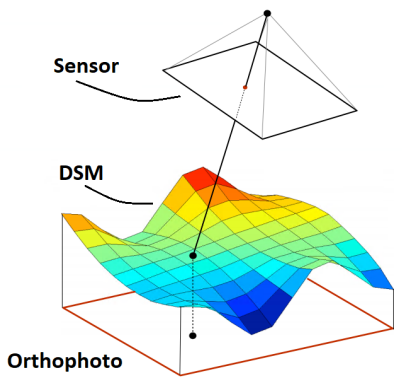
High resolution digital elevation models. Use DTMs for volume calculations or as surface for CAD models and measurment points.
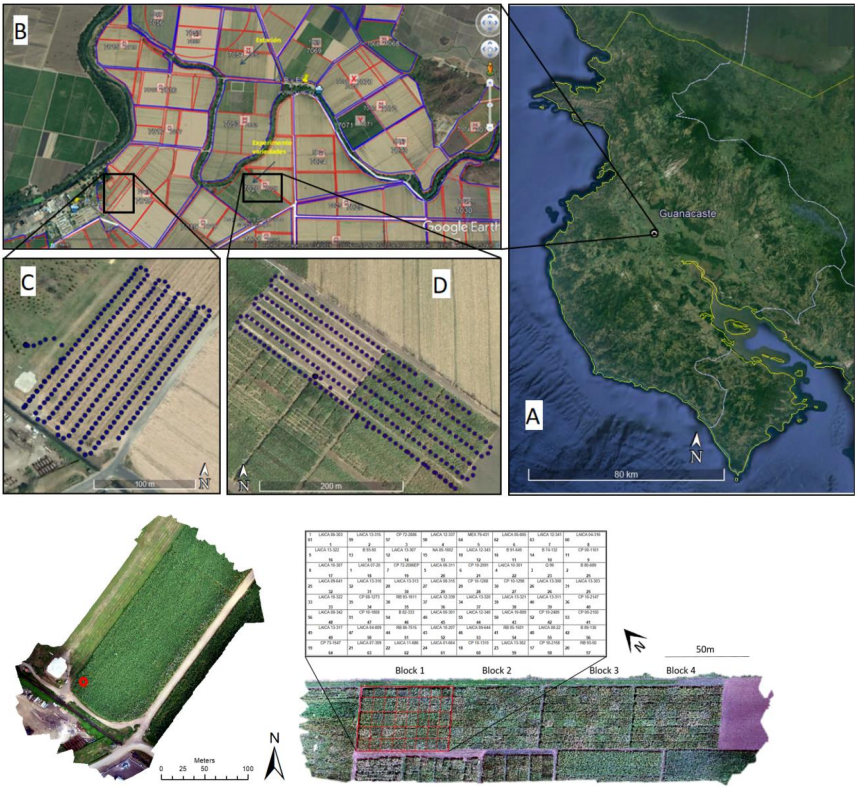
We perform remote sensing applications from satellite imagery to very high – resolution drone imagery.
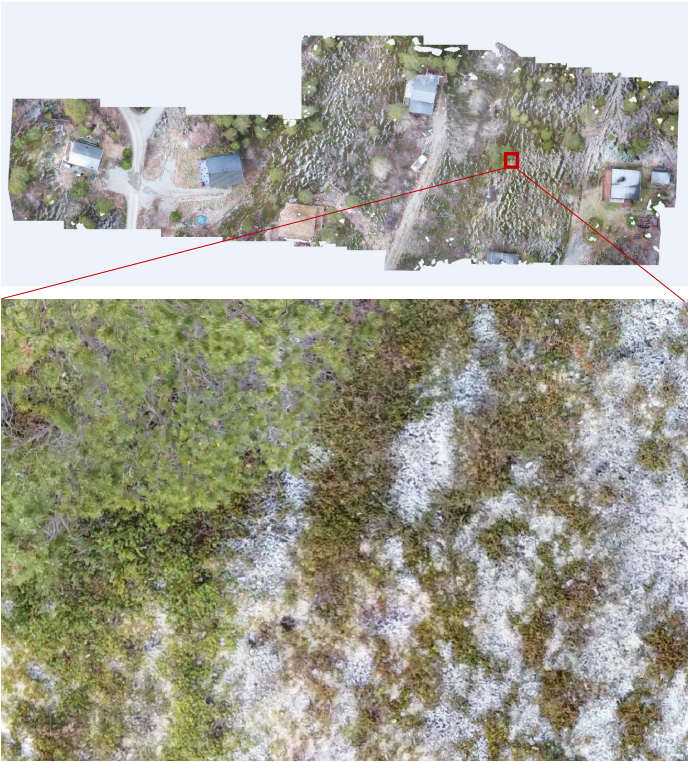
Imagery is processed and used to derive point clouds, orthomosaics and digital elevation models (DEM) in addition to various environmental parameters.
High resolution orthomosaics and DEMs are used to create advanced maps and to optimize modelling and planning, volumetric calulations and more.


