Orthomosaics
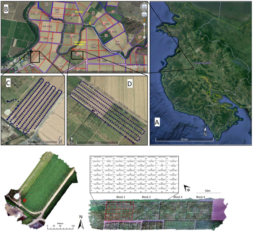
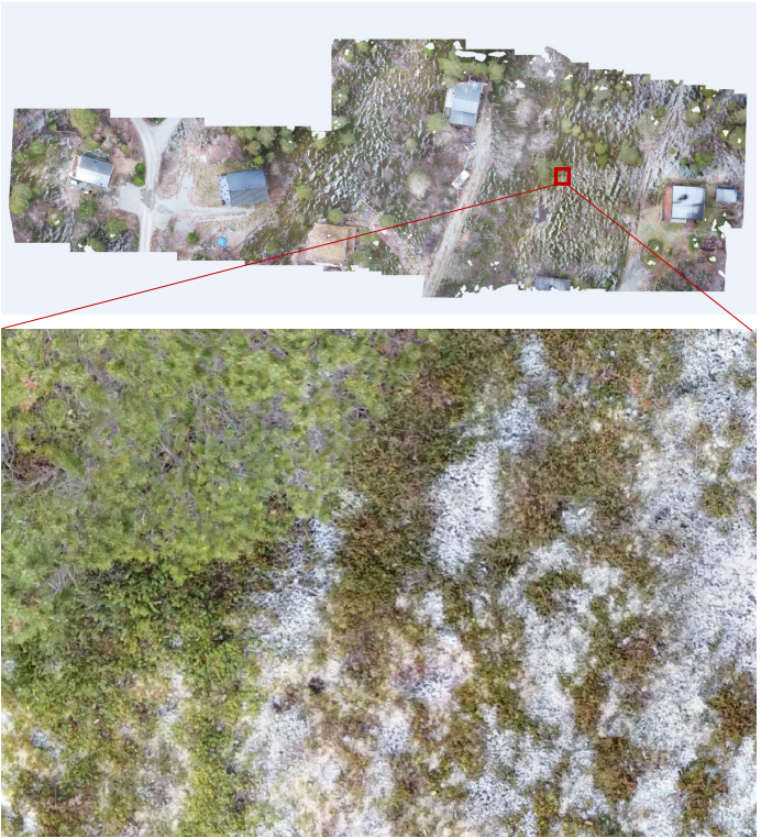
An orthomosaic is a photogrammetrically orthorectified image derived from data obtain by satellite or drone. The map is generated by combining many smaller imagers called orthophotos, these photos has ben corrected for lens distortion, camera tilt, perspective, and topographic relief.
Georeferenced orthomosaics are often used as base maps to vizualize data in planning stages. These high-resolution maps will depict objects in the project area with georeferenced locations. Each pixel are given a position in the horizontal and vertical plane and can show objects down to 1cm scale resolution.


