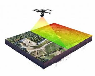
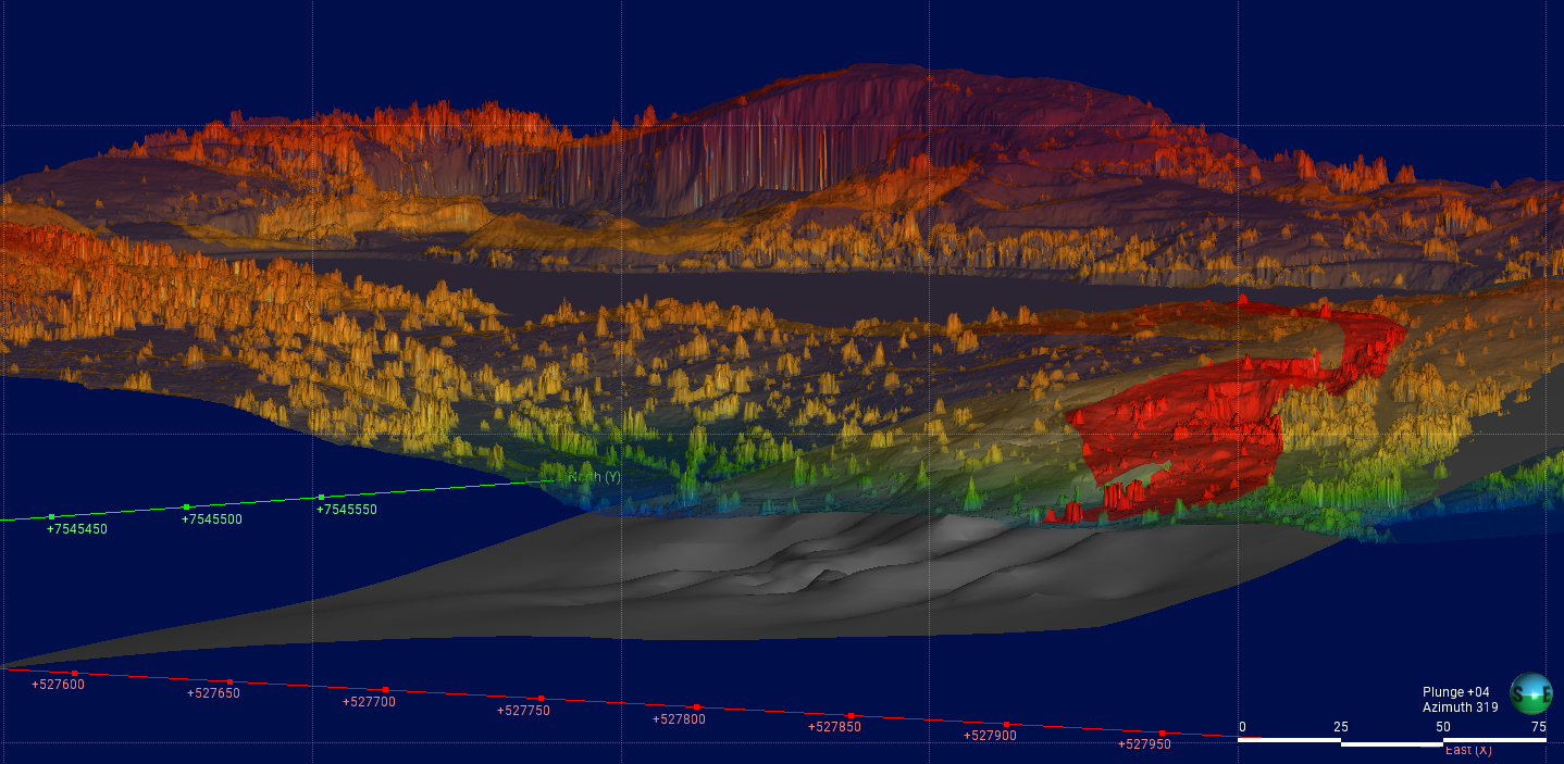
Reliable data for optimal decision making Explore Remote Sensing High resolution orthomosaics and digital elevation model to further modelling projects. Geological modelling Geophysical acquisition and modelling. Environmental Engineering Ecohydrological parameters to monitor environmental impacts and decision making. About Noros Consultation servicesRemote Sensing ApplicationsGeophysical acquisition and modelingEnvironmental Engineering Get in touch Have any questions? Get in touch. Get In Touch