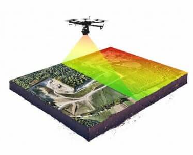
Reliable data for optimal decision making Explore Geophysical investigations High precision geophysical investigations. Remote Sensing High resolution orthomosaics and digital elevation model to further modelling projects. Environmental Engineering Ecohydrological parameters to monitor environmental impacts and decision making. About us Noros AS is a newly established company with the aim to specialize and join three fields: Remote Sensing ApplicationsEnvironmental EngineeringGeophysical Investigations Talk to us Have any questions? We are always open to talk about your business, new projects, creative opportunities and how we can help you. Get In Touch